
|
        |
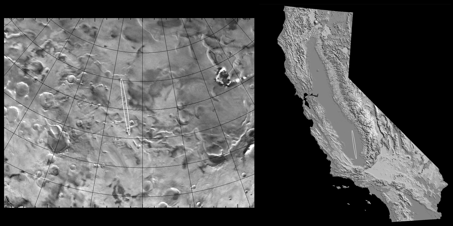 Click to Enlarge Click to EnlargeCaption: Comparison of the Mars Polar Lander (MPL) landing site region with California. The left half of the figure shows a map of Mars' south polar region created from Viking images. MPL's landing site is drawn as a 240 km by 20 km ellipse to reflect the accuracy at which the spacecraft can be targetted. Grid lines are plotted at intervals of two degrees of latitude and 10 degrees of longitude. The cratered surface is blanketed by sedimentary layers of ice and dust up to two kilometers thick. South is at the top of the map and the illumination is from the bottom. The right half of the image is a digital elevation model of the state of California overlain with MPL's landing ellipse. The scale of this map has been reduced by a a factor of two relative to the Mars map. Image credit: Dr. Ashwin Vasavada (UCLA). |