![]()
![]()
![]()
![]()
![]()
![]()
![]()
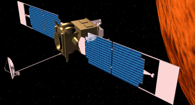 |
The intensive period of scientific data collection will begin in mid-March 1998 and will last for one Martian year (687 Earth days). During this Mars mapping phase of the mission, the spacecraft will circle the planet once every 117 minutes and 39 seconds at an average altitude of 378 kilometers (235 miles). In addition, the mapping orbit will lie tilted at nearly a right angle to the Martian equator. Consequently, Surveyor will pass over both the north and south polar regions of Mars on every revolution around the planet.
This polar orientation will allow the scientific instruments to image the entire Martian surface once every 7.2 Earth days as Mars rotates under the orbit. Surveyor will repeat this cycle of global observation many times over to allow scientists the chance to observe changes due to short-term or seasonal weather.
Throughout mapping, Surveyor will always travel southward over the day side of Mars and northward over the night side. The orbit is designed so that every time the spacecraft flies over the equator on the day side, the local Mars time on the ground will always be 2:00 p.m. Engineers refer to this orbit characteristic as "Sun synchronous."
The "afternoon orientation" of the orbit will ensure that the shadows, lighting conditions, and heat properties of the ground and air will remain as constant as possible throughout the course of the mission. Such a characteristic will provide a common frame of reference for scientists to compare data from different parts of the planet.