
Mars Global Surveyor Mars Orbiter Camera Release:          MOC2-34A, -34B, -34C
Mars Global Surveyor Mars Orbiter Camera Image ID:         568534396.8405
                                                           P084-05
|
Click Here for more information on MGS data release and archiving plans. |
CAPTION
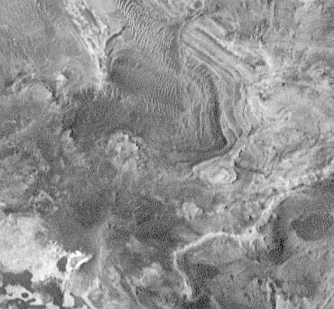
Complex terrain of possible sedimentary or volcanic materials on the floor of Candor Chasma in the Valles Marineris system. Dark sand dunes partly obscure the floor of this canyon. The curving, parallel features may be eroded layered sediment, the topographic expression of landslide or volcanic ash debris, and/or shore features associated with dry lake beds. The exact nature of these materials is still unknown, although some previous work (which may be considered controversial) interpreting Viking images suggests that these materials could be sediments deposited in a lake believed by some to have once occupied this part of Candor Chasma. MOC images such as this may eventually help answer questions as to the origins of these enigmatic deposits.This subframe of MOC image #8405 was taken on January 5, 1998, at 10:12 PM PST, during Mars Global Surveyor's 84th orbit around Mars.
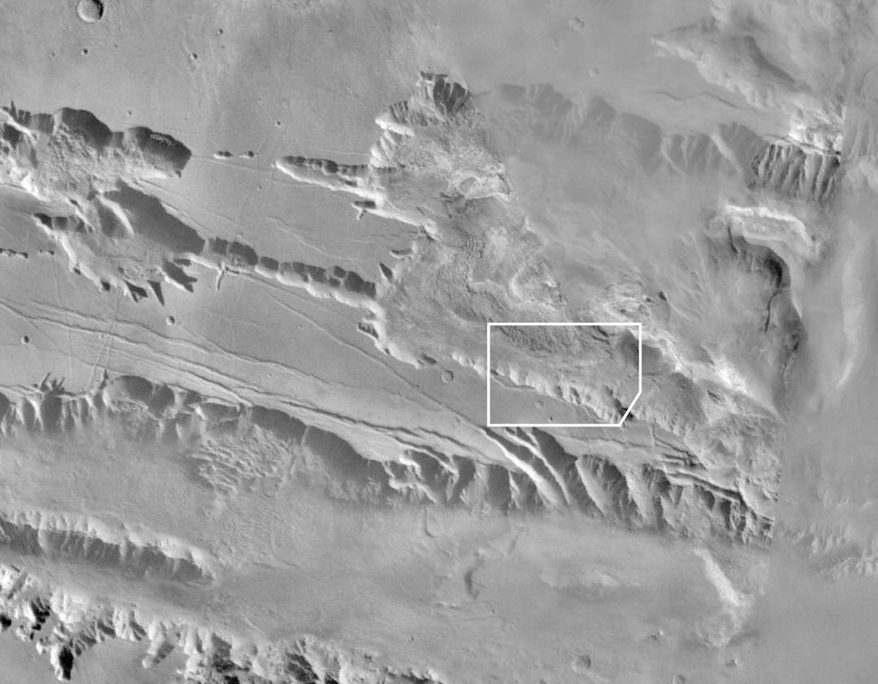
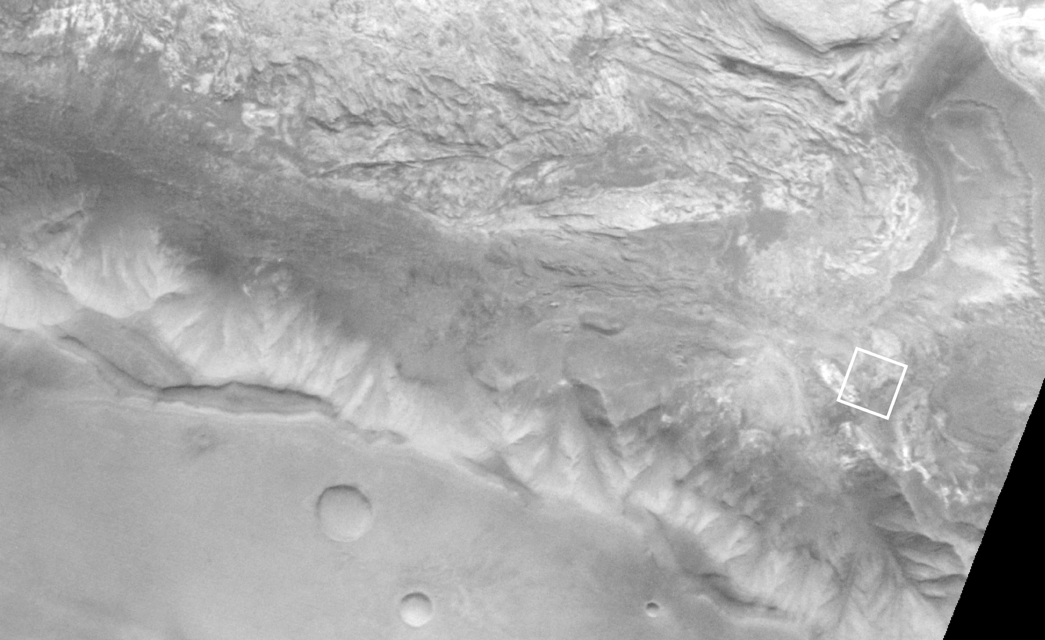
Context image (B) is the best Viking view of the area; Viking Orbiter 1 frame 066A19. It has a resolution of about 79 m/pixel, or 11 times lower resolution than the MOC frame.
The subframe of 8405 was featured as Figure 4b in Malin et al., "Early Views of the Martian Surface from the Mars Orbiter Camera of Mars Global Surveyor," Science, v. 279, no. 5357, pp. 1681-1685.
Malin Space Science Systems and the California Institute of Technology built the MOC using spare hardware from the Mars Observer mission. MSSS operates the camera from its facilities in San Diego, CA. The Jet Propulsion Laboratory's Mars Surveyor Operations Project operates the Mars Global Surveyor spacecraft with its industrial partner, Lockheed Martin Astronautics, from facilities in Pasadena, CA and Denver, CO.
Contact: info@msss.com
 To MSSS
Home Page
To MSSS
Home Page